| Click
to Enlarge map |
|
 |
|
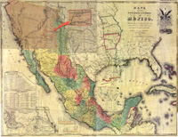 |
The
J. Disturnell map, dated 1847, was the map used to adjudicate
the conclusion of the Mexican American War. It shows the territories
once owned by Mexico before being annexed to the United States. In
one location there is a citation reading "Ancient home of the
Aztecs." Could this the original site of Aztlán? |
|
|
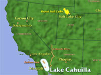 |
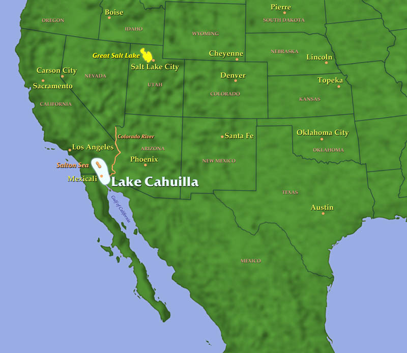
This
map shows the approximate location and size of Lake Cahuilla, a fresh
water lake that stretched from present day Indio, California south
to beyond Mexicali, Mexico. According to Dr. Philip J. Wilke’s
Doctoral Dissertation “Late Prehistoric Human Ecology at Lake
Cahuilla, Coachella Valley, California,” Lake Cahuilla was filled
with water in three historic periods: from 300 A.D. to 600 A.D., from
900 A.D. to 1200 A.D. and lastly from 1350 A.D. to 1500 A.D. The drying
up of the lake at about 1200 A.D. would coincide with the date given
for the trek from Aztlán south to the Valley of Mexico. The
present day Salton Sea was created in 1905 when the Colorado River
overflowed and filled the dry lake bed with water. |
|
|
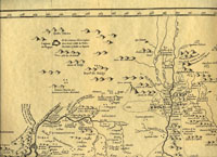 |
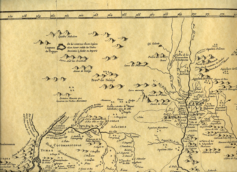
The
Nuevo Mapa de la America Septentrional (1768) shows Lake Teguayo situated
to the northeast of present day Mexico City. The citation on the map
reads, "From the borders of this lake the Mexica people went
forth to build their empire." Could Lake Teguayo and Aztlán
be one and the same? |
|
|
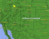 |
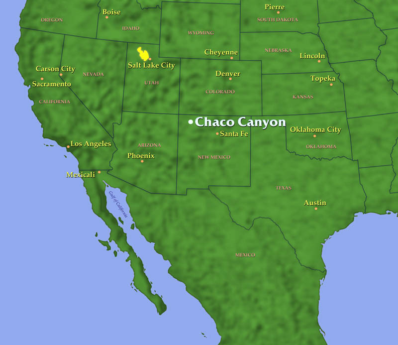
Located approximately
130 miles northwest of Albuquerque, New Mexico, Chaco Canyon was settled
by the Anazasi people as early 700 A.D. They began building
large four story structures in 900A.D. Although not containing the
lake, seven caves and herons alluded to in the classic description
of Aztlán, some archeologists do not rule out the possibility
that some of the Anazasi people may have migrated South to the Valley
of Mexico. |
|